EarthDefine Releases 3D Building Footprint API for Developers
EarthDefine has launched its Buildings Footprints 3D API, providing developers with programmatic access to detailed building footprint and structure data nationwide.
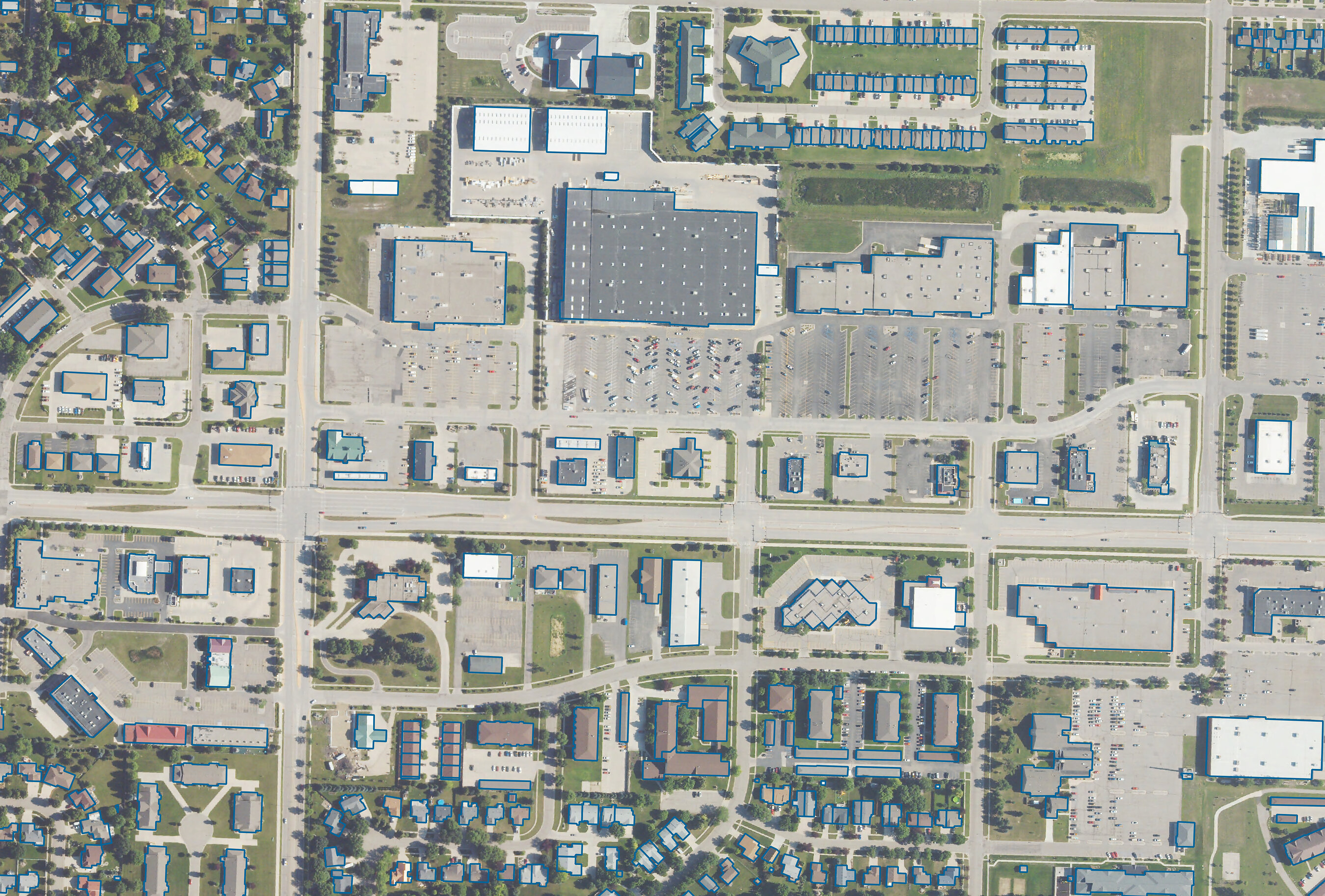
Redmond, Wash. – EarthDefine has launched its Buildings Footprints 3D API, a new product offering developers programmatic access to detailed building footprint and structure data. The API aims to provide structure-level geospatial intelligence across the United States.
The new API allows businesses and developers to integrate precise 3D building data into their applications and workflows. This data includes information on building shapes, dimensions, and vertical elevations, enabling a range of applications from urban planning to risk assessment.
According to EarthDefine, the service provides data derived from high-resolution aerial imagery and other geospatial sources. The company states the API is designed for ease of integration, allowing for quick deployment by users needing detailed building intelligence.
The launch expands EarthDefine's existing suite of geospatial products. The company focuses on delivering high-resolution data for various industries requiring location-based insights.