EU Restricts Satellite Images of Iran War Region Following US Request
The European Union will delay the release of satellite images showing shipping lanes near the Strait of Hormuz by 24 hours. The move responds to a US government request and affects the Copernicus Earth observation program.
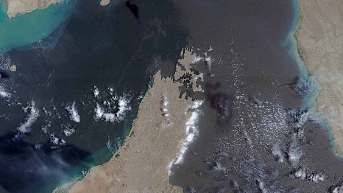
Brussels – The European Union has begun delaying the release of satellite images charting shipping lanes near the Strait of Hormuz by 24 hours. This decision comes in response to a request from the US government and impacts the free data policy of the EU's Copernicus Earth observation program.
The restriction applies to images captured by ESA's Sentinel-1 and Sentinel-2 satellites, specifically focusing on the Gulf of Oman region, which includes crucial shipping routes to and from the contested Strait of Hormuz. The change was detailed in a decision made by the Council of the EU on July 13, as reported by Space News.
According to Space News, the US government initially requested the restriction on May 26. This request occurred during a period of heightened tensions and a fragile ceasefire in the region, which began on April 8 and ended on July 8. Following the ceasefire's end, the US military resumed military strikes.
This delay in data availability for a strategically sensitive area is likely to impact maritime monitoring and assessments of regional activities. International observers are monitoring the implications for understanding and managing potential escalations in the Gulf.