Europe's Free Satellite Service Enhances Wildfire Tracking Capabilities
The Copernicus Browser, Europe's free satellite imagery service, has introduced a new visualization layer to improve the tracking of wildfires using data from Sentinel satellites.
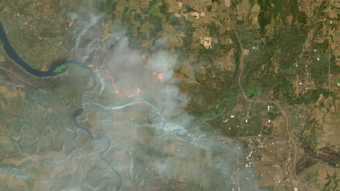
Europe's free and open satellite imagery service, Copernicus Browser, has updated its capabilities with a new visualization layer designed to make tracking wildfires more straightforward. This enhancement aims to provide more accessible and detailed information for monitoring global fire events.
The new "wildfires" visualization layer utilizes imagery from the European Space Agency's Sentinel-2 satellites, known for their multi-spectral imaging at resolutions as fine as 10 meters. With this layer, active fires are displayed in white or yellow, burning vegetation in red, and burned landscapes in dark brown or black, allowing for clear visual analysis.
Copernicus Browser is part of the European Union's Earth observation program, offering free access to data from the Sentinel satellite constellation. The visualization tool, originating from a script developed nearly a decade ago, is now integrated into the service to aid authorities and researchers in tracking natural disasters.
Launched on August 4, the update is seen as a significant step in improving wildfire management and reporting. The service now enables users worldwide to more easily view and analyze the scale and progression of fires.