NASA Map Tracks Wildfire Smoke Spread Across North America
NASA has released a visualization tracking the movement of smoke from Canadian wildfires across North America from mid-July to early August. The smoke caused severe air pollution in cities hundreds of miles away.
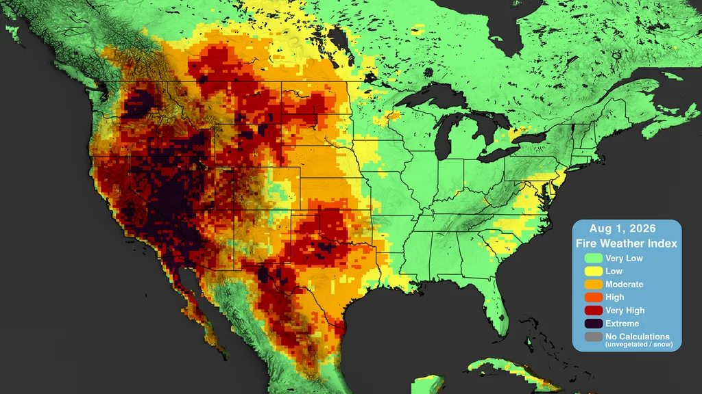
A new visualization from NASA tracks the trajectory of smoke plumes from Canadian wildfires across North America, spanning from mid-July to early August. The map reveals the extensive impact of the fires, affecting air quality in cities located hundreds, and even thousands, of miles from the source.
According to Dan Jaffe, a professor of atmospheric and climate science, the intense heat from wildfires can propel smoke up to 3-5 kilometers into the atmosphere. At these higher altitudes, winds are stronger and can transport smoke over vast distances. The small smoke particles can remain suspended for a week or more, unlike larger dust particles.
Certain weather conditions can cause smoke to accumulate near the ground. Detroit, for instance, experienced a temporary collapse in air quality in July due to a temperature inversion and weak winds that trapped the smoke. The pollution originated from both Canadian fires and fires in northern Minnesota.
The health impacts of wildfire smoke are immediate and can intensify over time as particles oxidize. Smoke can also combine with urban pollution to create more ground-level ozone, exacerbating respiratory conditions like asthma.
Climate change is identified as a significant factor contributing to the increased frequency and intensity of wildfires. Hotter, drier weather conditions facilitate the spread of fires. Studies suggest that climate change has doubled the likelihood of this year's Canadian wildfire season.