Network Rail and CATALYST Test Satellite Data for Risk Management on Wessex Route
Network Rail and CATALYST have completed a pilot project exploring satellite-enabled risk management solutions on the Wessex Route. The aim was to improve early identification of flooding and vegetation risks.
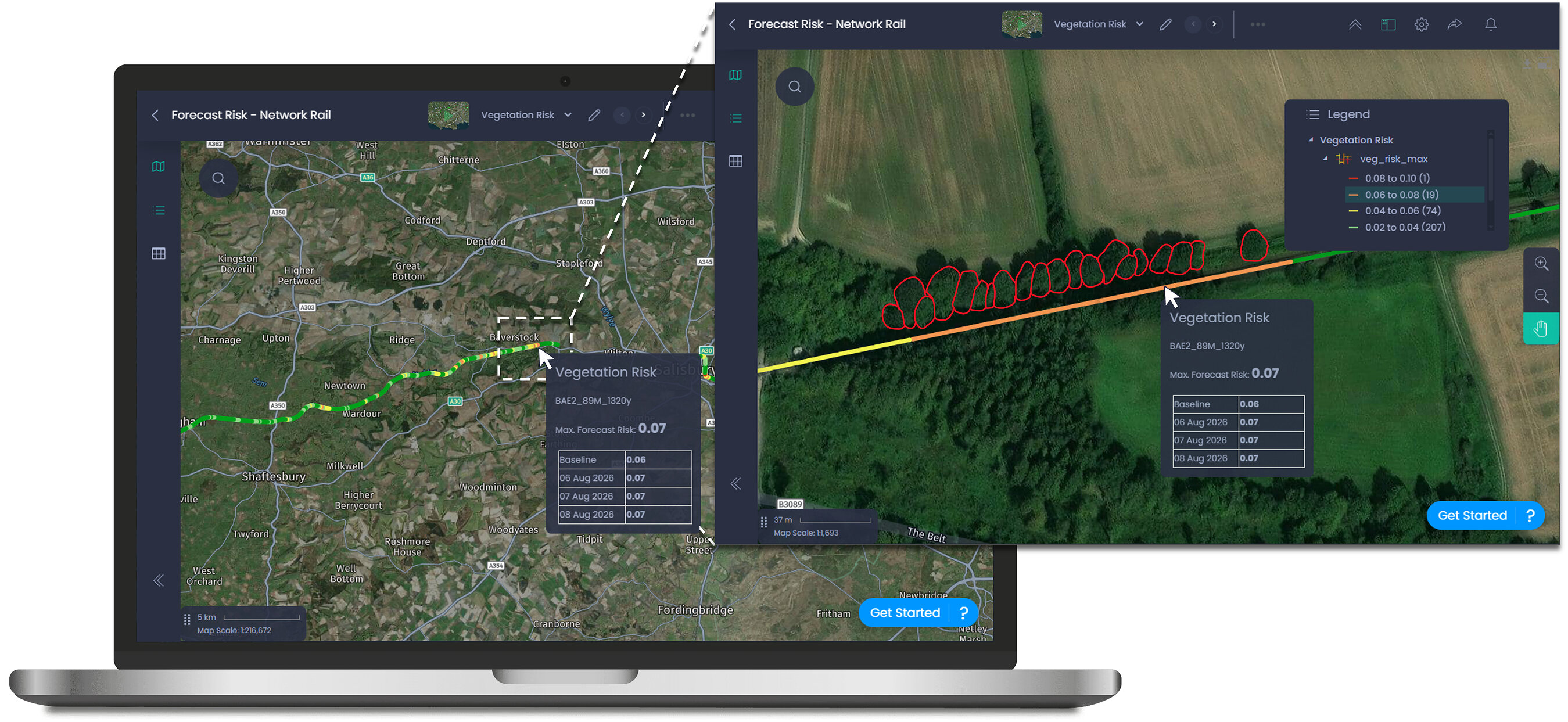
Network Rail and technology services firm CATALYST have concluded an exploratory pilot project focused on evaluating the use of satellite technology for railway infrastructure risk management. The trial took place on Network Rail's Wessex Route in London.
The project integrated Earth Observation data, analytics derived from satellite imagery, and weather forecasting. Its objective was to enhance the early detection and prediction of risks associated with flooding and vegetation growth, thereby improving track inspections and decision-making for infrastructure maintenance.
Results from the pilot are currently under assessment, which will inform decisions regarding the potential wider deployment of the technology. Satellite-based solutions could offer significant advantages to infrastructure operators aiming to more effectively anticipate and manage environmental risks.
Successful implementation could lead to new operational approaches in managing the rail network, improving safety and reducing unexpected disruptions caused by factors such as weather conditions or natural vegetation.