Rush Gold Corp. to Start Fieldwork and Satellite Imaging in Nevada
Rush Gold Corp. will begin fieldwork and acquire high-resolution satellite imagery at its Legal Tender and Skylight properties in Nevada. The company aims to evaluate surface mineralization and identify targets for drilling.
Rush Gold Corp. is preparing to commence fieldwork and obtain high-resolution WorldView-3 (WV-3) satellite imagery at its recently optioned Legal Tender and Skylight properties in Nevada. These programs are designed to further evaluate surface mineralization and prioritize targets for follow-up exploration and drilling.
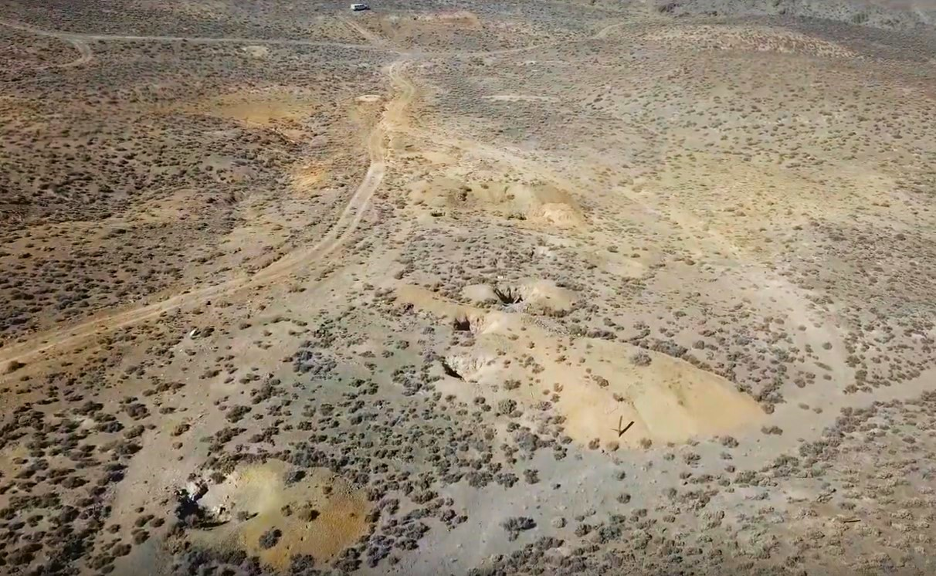
The Legal Tender and Skylight properties are located approximately 60 kilometers northwest of Tonopah, Nevada, within the Royston Hills Republic Mining District. The company will utilize the WV-3 satellite's significantly improved resolution compared to previously used ASTER data. WV-3 can generate detailed maps of 13 key minerals, including alunite, buddingtonite, montmorillonite, sericite, iron oxide, and silica.
"We are excited to commence our first field program across both Skylight and Legal Tender, with the goal of advancing key targets to the drill-ready stage," said Anthony Zelen, CEO of Rush Gold. The acquired satellite data will enable geological teams to rapidly identify high-priority areas for ground follow-up, aided by known silver geochemical anomalies and historic mine workings.
In the coming weeks, the company expects to initiate rock sampling and geological reconnaissance. This work aims to follow up on recently announced ASTER anomalies, which are interpreted to represent the alteration footprint of a low-sulfidation gold-silver epithermal system within the Royston Hills Republic Mining District.